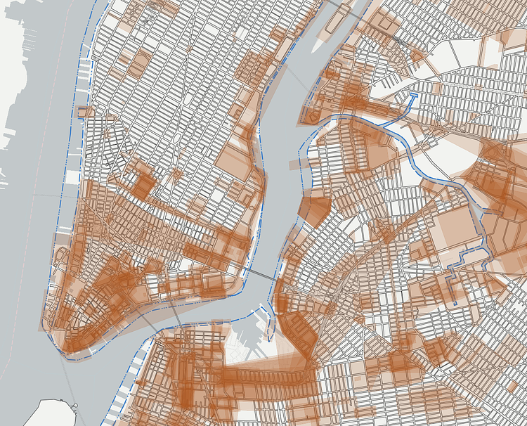
The New York City Department of City Planning recently released this interesting interactive tool simply called The City Map which is the department's official digital representation of the New York City streets. The interactive nature of the site lets you track changes in the street map over the past 90 years, allowing you to visualize the changes made to them due to various reasons over the years.
Each borough is divided into a separate set of Section Maps that covers every block. Over time, changes have been made to the City Map. Some streets on the Section Maps have been closed or changed, or new streets have been mapped. As these changes are approved, Alteration Maps are prepared to illustrate them. Together, adopted Section Maps and Alteration Maps constitute the City Map and document the current status of the streets in the City.
Check out the full map to play around with the data.

Matt Coneybeare
Editor in Chief
Matt enjoys exploring the City's with his partner and son. He is an avid marathon runner, and spends most of his time eating, running, and working on cool stuff.
Something wrong with this post? Let us know!


