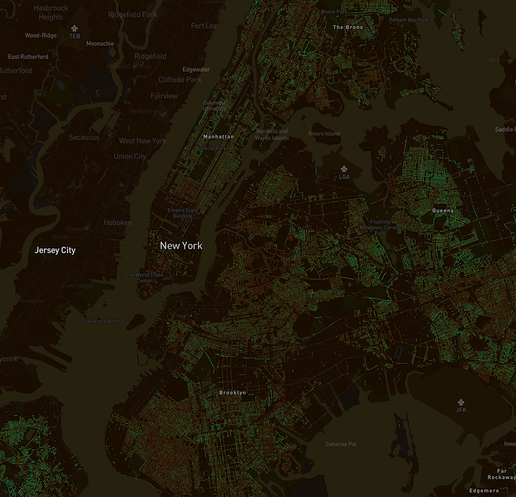
Treepedia is a new project from MIT’s Senseable City Lab that uses data from Google Maps to show you which City neighborhoods and streets have the most urban tree cover, the "greenest" streets.
The Green View Index (GVI) was calculated using Google Street View (GSV) panoramas. This method considers the obstruction of tree canopies and classifies the images accordingly. By using GSV rather than satellite imagery, we represent human perception of the environment from the street level. The GVI presented here is on a scale of 0-100, showing the percentage of canopy coverage of a particular location. Explore the maps above to see how the GVI changes across a city, and how it compares across cities and continents.
Check out the interactive map to see how green your neighborhood is.
h/t Curbed

Matt Coneybeare
Editor in Chief
Matt enjoys exploring the City's with his partner and son. He is an avid marathon runner, and spends most of his time eating, running, and working on cool stuff.
Something wrong with this post? Let us know!


