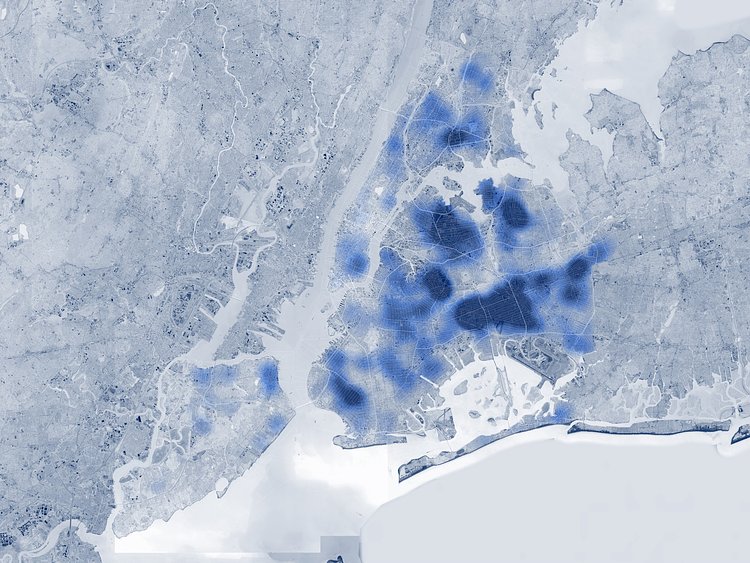
SITU Studio - a design company out of Brooklyn - has created a map of the public record of complaint calls made to the City Department of Buildings about illegal subdivisions in apartments and townhouses. If the complaint calls are accurate, mapping them out show the buildings where apartments have been rented that most likely are not up to code and most likely not regulated by the City.
Most of the calls come from lower-income areas in the outer rims of Queens, Brooklyn and bronx, but there are still pockets in more affluent neighborhoods.
Click through for more details on the project, and to view a full-sized map.
via Fast Company

Matt Coneybeare
Editor in Chief
Matt enjoys exploring the City's with his partner and son. He is an avid marathon runner, and spends most of his time eating, running, and working on cool stuff.
Something wrong with this post? Let us know!


