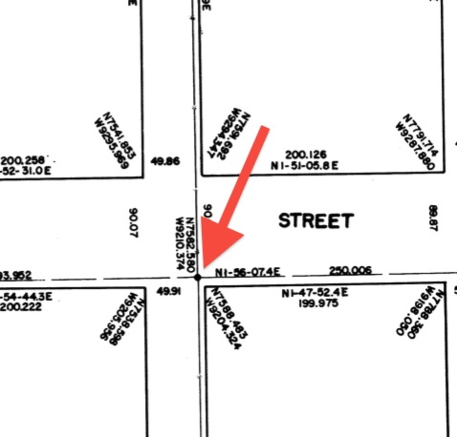
Our friends at Tribeca Citizen recently investigated what those small round "topographic" sidewalk markers found across Manhattan are used for. They contacted someone at the Manhattan Borough President’s Office and found out that:
“This is a Manhattan Monument, used by surveyors to identify property lines. I have attached a PDF of the Manhattan Borough Survey Map, which shows the coordinates for that monument. There are two types of markers throughout the city. You have your Monuments that have longitude and latitude. Then you have the Bench Marks, also throughout the city, that will give you the elevation about sea level based on Manhattan Datum. Theses items have been in use for years and are still in use even with GPS equipment, especially in Manhattan (because of all the tall buildings, GPS equipment can only provide a correct read at certain times of the day when the GPS equipment has a straight uninterrupted signal to the satellite in space).”

Check out the full article to learn more about the sidewalk markers.
via Tribeca Citizen
Something wrong with this post? Let us know!


