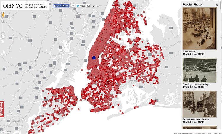
OldNYC is an amazing project from Brooklyn web developer Dan Vanderkam and a team of others in which they map out the locations captured in vintage New York City photographs dating back to 1870.
The photos and the location data comes from the Milstein Collection at the New York Public Library and with special code written by Vanderkam and his team, they are mapped out and displayed on this sweet interactive map.
There are thousands of photos in all 5 boroughs mapped out on the site. Click through to OldNYC and check out the vintage photographs captured around where you live.
via r/nyc

Matt Coneybeare
Editor in Chief
Matt enjoys exploring the City's with his partner and son. He is an avid marathon runner, and spends most of his time eating, running, and working on cool stuff.
Something wrong with this post? Let us know!


