Photo:
The Met
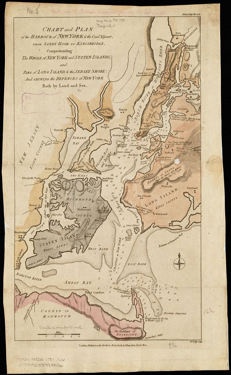
Chart and Plan of the Harbour of New York & the Country Adjacent, from Sandy Hook to Kingsbridge, Comprehending the Whole of New York and Staten Islands, and Part of Long Island Sound & the Jersey Shore: And Shewing the Defence of New York Both by Land and Sea
via The Met

Matt Coneybeare
Editor in Chief
Matt enjoys exploring the City's with his partner and son. He is an avid marathon runner, and spends most of his time eating, running, and working on cool stuff.
Something wrong with this post? Let us know!


