WalkNYC is a New York City Department of Transportation project seeking to provide more accurate and visible maps and information in order to boost walking in the City.
New York City is well-known as a walking city, but pedestrian-oriented information is difficult to find and inconsistent where available. The City’s streets are a mix of named and numbered streets, with a variety of building numbering conventions, with street grids merging at confusing angles. Even Manhattan’s simple street grid is difficult to navigate when emerging from a subway station or transit hub. While the City has many signs directing drivers these provide very little benefit to pedestrians. The goal of WalkNYC is to remedy this information and navigation gap.
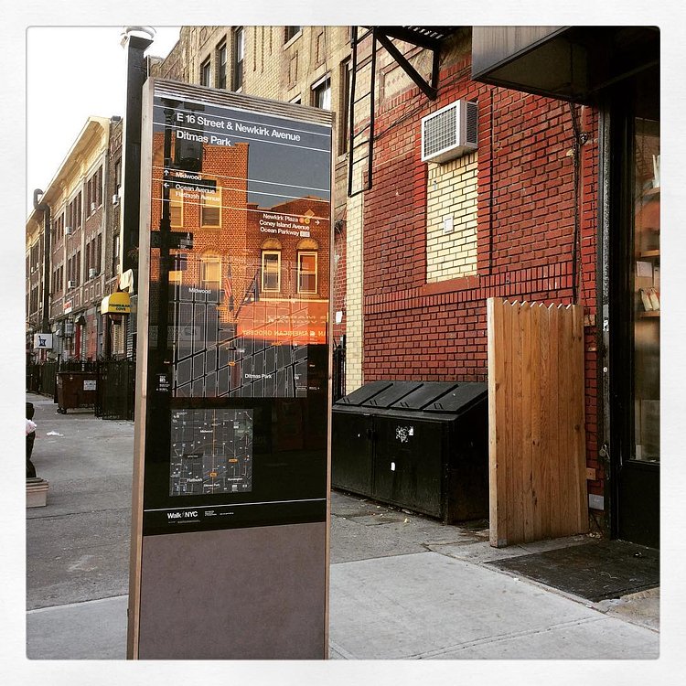
Some of the first street-side maps from WalkNYC are starting to appear now, such as the one above outlining the area around the Newkirk Plaza, Cortelyou Road, and Beverley Road subway stops in Ditmas Park.

Matt Coneybeare
Editor in Chief
Matt enjoys exploring the City's with his partner and son. He is an avid marathon runner, and spends most of his time eating, running, and working on cool stuff.
Something wrong with this post? Let us know!


