The New York Public Library has a vast collection of high resolution public domain images available for free download through their incredible digital portal.
Our friends at TimeOut spent some time poking around the digital collection and found these fascinating vintage maps, depicting various areas of New York City ranging from pre-colonial times to the early 20th century. Enjoy!
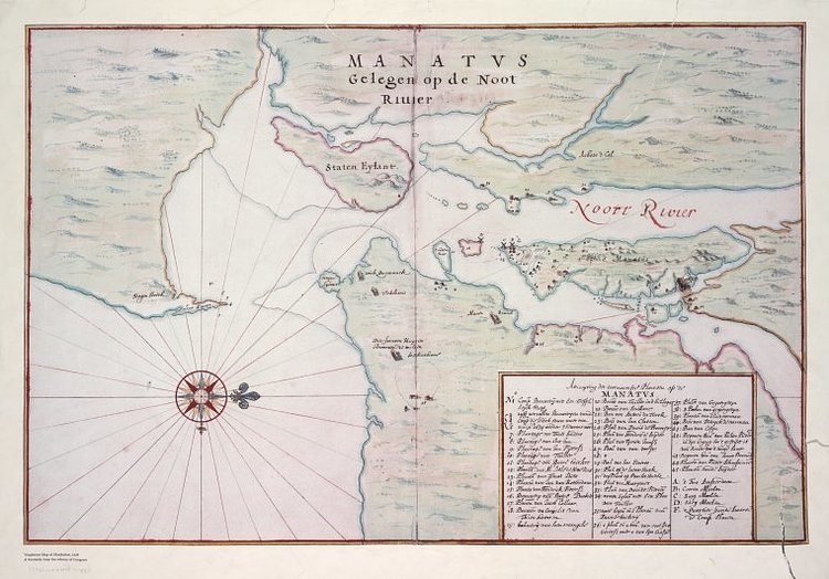
Photo:
Timeout
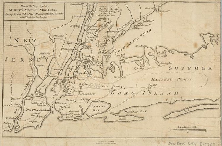
Photo:
Timeout
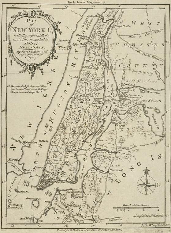
Photo:
Timeout
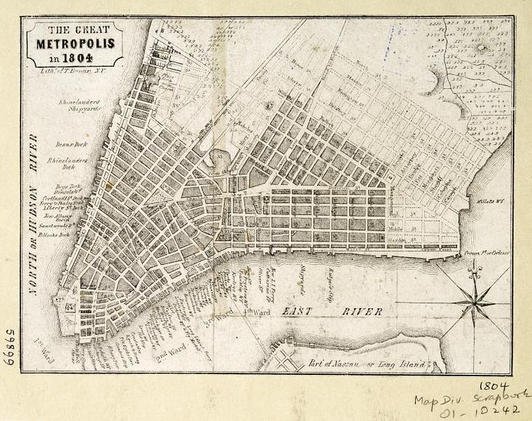
Photo:
Timeout
Photo:
Timeout
Photo:
Timeout
Photo:
Timeout
Photo:
Timeout
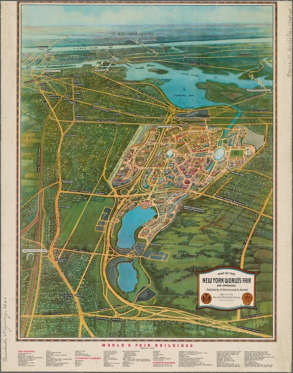
Photo:
Timeout
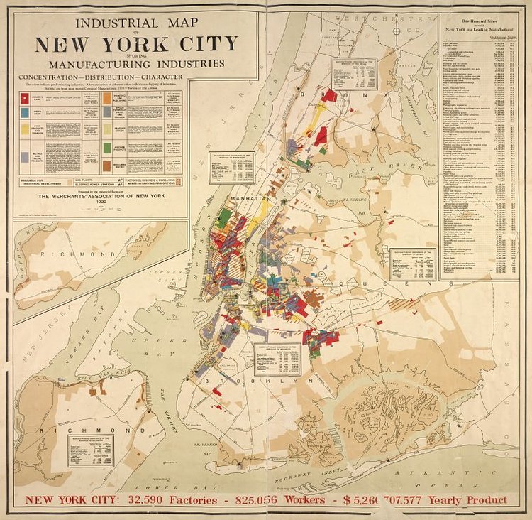
Photo:
Timeout
via TimeOut

Joshua Mu
Contributing Writer
When he is not attempting to hustle the hustlers of Central Park, Joshua enjoys exploring the depths of what New York has to offer. He one day hopes to pilot a drone without immediately crashing it.
Something wrong with this post? Let us know!

