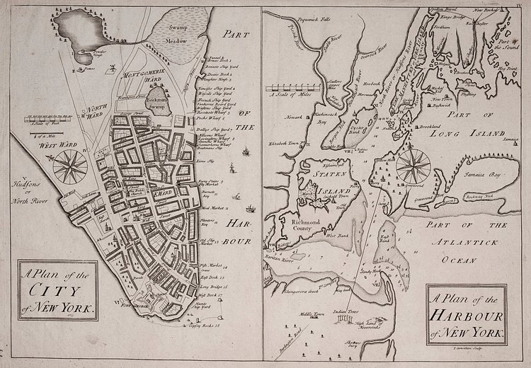
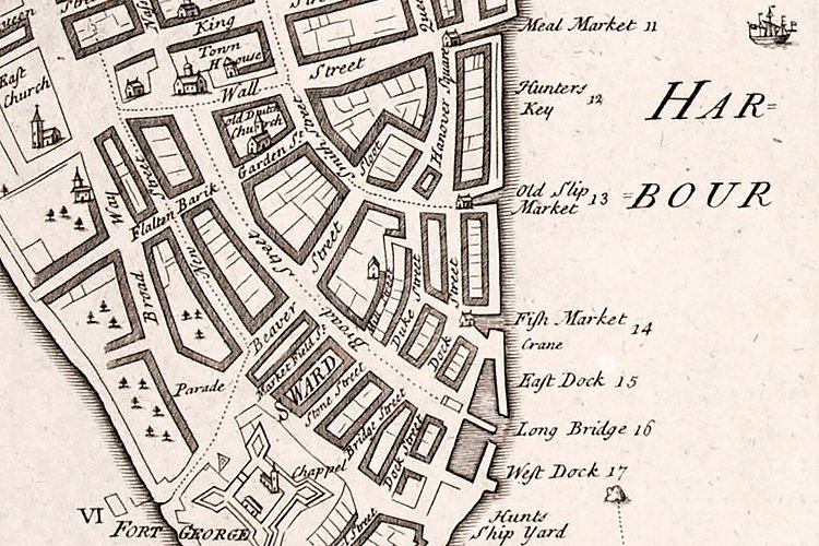
Recently uncovered in a private map collection in Italy, this vintage city-plan map of New York dates back to 1740, making it the second oldest known map of its kind. Dubbed the Carwitham Plan, the map shows several previously unknown structures, including the very first synagogue in the Americas.
The Carwitham Plan is billed as the second-earliest printed plan of the city and chart of its harbor, which was based on an earlier 1730 plan. The Carwitham Plan stretches farther north than the earlier map and is more legible. It includes the synagogue on Mill Street in Lower Manhattan, which was consecrated in 1730, and offers York Island as an alternative name for Manhattan.
Check out the accompanying article on the New York Times for more.
via New York Times

Matt Coneybeare
Editor in Chief
Matt enjoys exploring the City's with his partner and son. He is an avid marathon runner, and spends most of his time eating, running, and working on cool stuff.
Something wrong with this post? Let us know!


