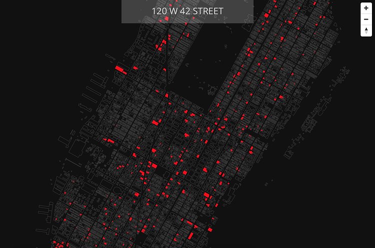
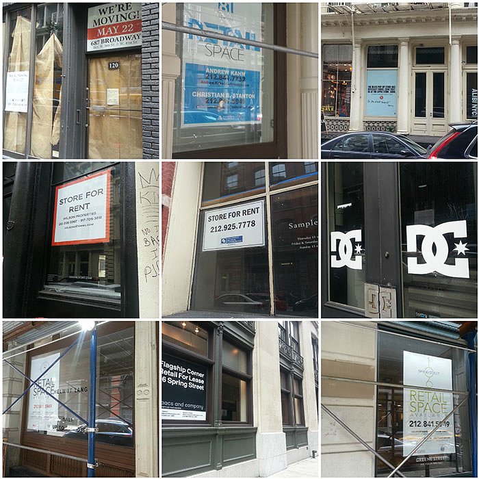
Vacant New York is a new interactive map that uses public City data and submitted data from the general public to identify all vacant storefronts in Manhattan.
The vacancy problem is immediately visible but lacking in hard data. The intent of this project is to provide some background around commercial vacancies and use a map to give some insight into the extent of the issue, ideally doubling as a tool for community groups and policymakers to identify areas for intervention.
Check out the full map to see what parts of the borough have been affected the most.

Matt Coneybeare
Editor in Chief
Matt enjoys exploring the City's with his partner and son. He is an avid marathon runner, and spends most of his time eating, running, and working on cool stuff.
Something wrong with this post? Let us know!


