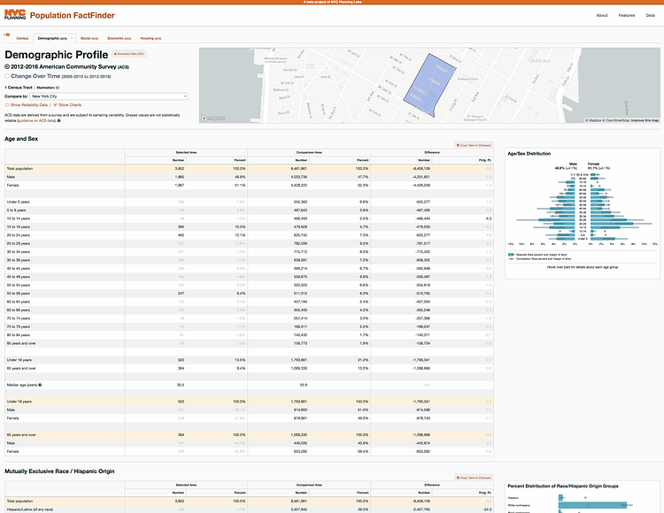
The New York City Department of Planning's Planning Labs recently released this great interactive tool called the Population FactFinder that lets you easily look up a ton of info on your neighborhood, or any other. Using census data to create tables and charts, you can see how ethnicity breaks down in your neighborhood, along with gender and age, then compare them to New York City as a whole.
Population FactFinder allows you to easily define study areas within New York City and examine detailed population profiles showing critical demographic, social, economic, and housing statistics, and how these statistics have changed over time.
Check out the interactive site to play around with the data and see how your neighborhood's data looks.
via Viewing NYC Tips

Matt Coneybeare
Editor in Chief
Matt enjoys exploring the City's with his partner and son. He is an avid marathon runner, and spends most of his time eating, running, and working on cool stuff.
Something wrong with this post? Let us know!


