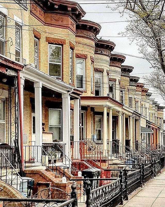
Viewing NYC on Instagram, May 24th, 2017 at 12:25 PM

Woodhaven, Queens. Photo via @rochdalian #viewingnyc
Photo: @viewingnyc

Follow our Instagram account @ViewingNYC to see photos of New York City from some of the best local, amateur, and professional photographers around! If you would like to see your photo featured, be sure to use hashtag #viewingnyc and we'll take a look!

If you want more than just photos, check out @ViewingNYC on Twitter, and Viewing NYC on Facebook to also get a stream of our best articles.

This Clever GIF Shows Compressed New York City Subway Map Distance Against the Actual Geographic Distance

NYC Subway: Map Distance vs. Geographic Distance
Photo: Richie Gelles

The New York City subway map designers at the MTA have a tough task: to show the breadth of all the City's lines in a relatively small sized, rectangular map. The problem is that the City just isn't rectangular at all. Redditor and data visualization guru Richie Gelles recently created this great GIF showing the New York City subway map in its compressed form, versus a similar map that covers the actual geographic distance.

The official subway map simultaneously expands the area for Manhattan and Downtown Brooklyn and compresses the outer reaches of the system in Queens, outer Brooklyn, and the Bronx. Definitely makes it more legible though, following the actual geography the whole Financial District is an incomprehensible blob of stations.