Photo:
shineyphoto
There is a lot of stuff going on the City, and we can't write about it all. Here are some interesting things some of our friends have written up lately.
- 6sqft ⇒ NYC Pet Laws: A Legal Loophole May Let Fido Stay Despite Your Landlord’s ‘No Pets’ Rule
- Bedford + Bowery ⇒ I Tried Rockaway’s New Dockless Bikes and It Was Wheelie Bad
- Bklyner ⇒ Ugly Baby Ranks #3 on Bon Appétit's List of America's Best New Restaurants
- Brokelyn ⇒ Hang Out in These 5 Witchy Brooklyn Hot Spots - Brokelyn
- Brooklyn Heights Blog ⇒ Brooklyn Bridge Park Seeks Input on Squibb Pool
- Brooklyn Magazine ⇒ A Behind the Scenes Look at Behind the Scenes NYC - Brooklyn Magazine
- Curbed NY ⇒ Now’s Your Chance to Weigh in on the Dismal State of the NYC Subway
- Daytonian in Manhattan ⇒ The William H. Osgood Stable - 118 West 18th Street
- Ephemeral New York ⇒ Why a West Side Park Is Named for an Italian Poet
- Gothamist ⇒ Videos: Adorable Shark Joins Swimmers at Riis Park Beach
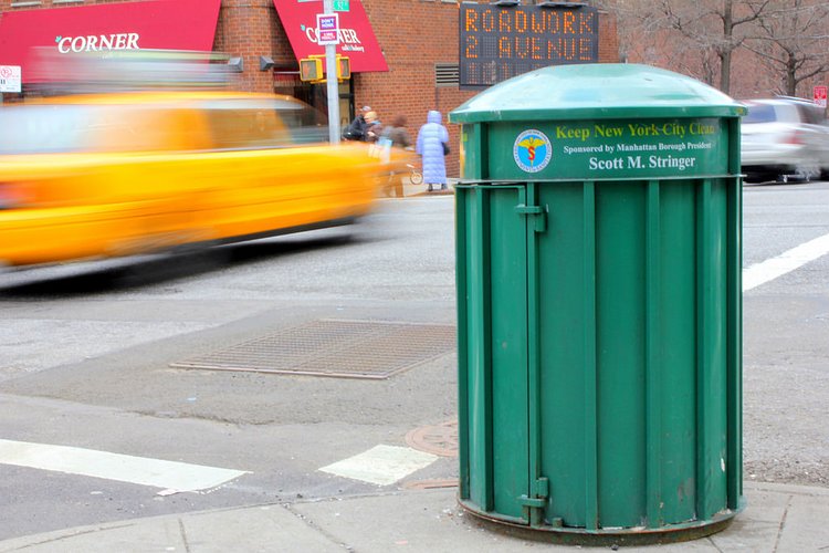
- New York Times ⇒ Harlem’s Trash Bins Were Overflowing. So the City Took 223 Away.
- Stuff Nobody Cares About ⇒ Old New York in Photos #92 - Mulberry Street C. 1905
- The Lo-Down ⇒ Fish Balls & Rice Noodles for Everyone! | the Lo-Down : News From the Lower East Side
- This Way on Bay ⇒ How the Billion Oyster Project Will Help Staten Island's Shoreline - This Way on Bay
- Thrillist ⇒ The 12 Best Tacos in NYC Right Now
- Tribeca Citizen ⇒ An Italian Food Hall Is Opening at Broadway and Canal