
Photo:
r/nyc
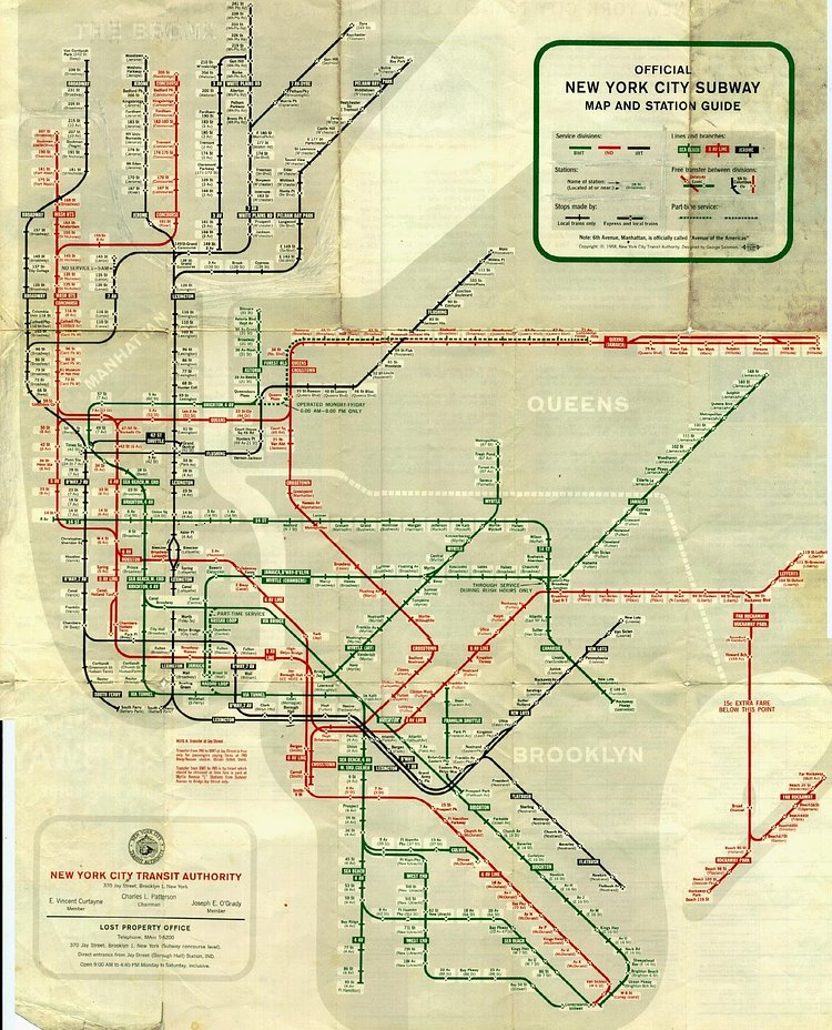
This vintage map from 1958 shows the New York City subway system, separated by the three service division (BMT, IND, and IRT) before they were combined to form the MTA in 1965. While there have been a few changes/additions since this map was released, including the 2nd Avenue subway, Roosevelt Island F-train stop, the Hudson Yards 7-train stop, amongst others, most of the stations and routes remain the same.