
Aerial footage of Manhattan, New York City at night. Recorded December 2017 - August 2020
Thursday, March 18th, 2021, Good Afternoon!
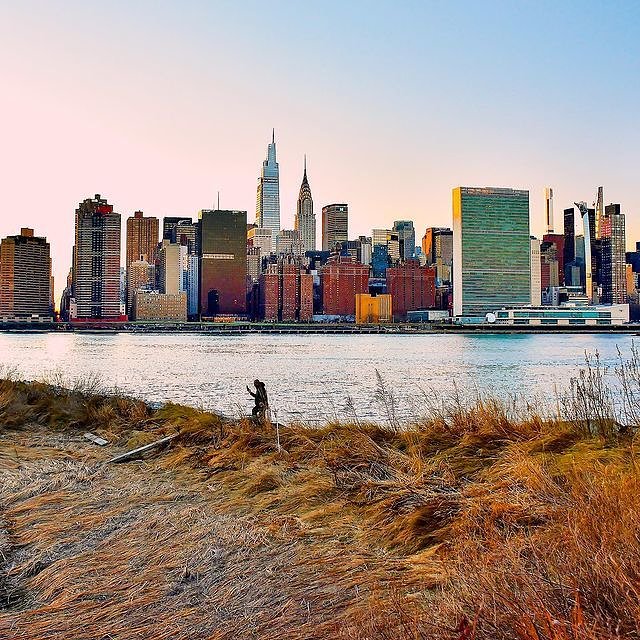
Photo:
gigi.nyc
Good afternoon! Wishing you a happy Thursday, March 18th, 2021 from all of us at Viewing NYC!
Here's what the weather looks like in the City right now.
This Vintage Map From 1970 Shows New York City as the Center of the World
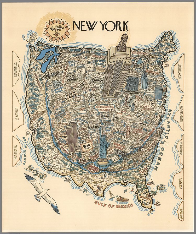
Photo:
David Rumsey Map Collection
Created by an anonymous artist back in 1970, this great illustrated vintage map shows New York City—well, mostly Manhattan—at the center of the world. The map is one of hundreds of unique digital specimens in the David Rumsey Map Collection.
Colored pictorial map of New York City with the buildings rendered as a bird’s-eye view in isometric perspective, presents detail view from New York City to the rest of the United States and the world showing New York as the center of the world, with a strip along Hudson River representing New Jersey, San Francisco, Los Angeles, Texas, Miami, and Washington, D.C. Flattened land masses labeled China, Japan and Russia, Ireland, England, France, Spain and Italy on left and right panels. Each buildings, restaurants, places of interest labeled. Shows Empire State building in top center and Statue of Liberty on lower cent of the map. Date estimated. No Publisher and cartographer.