A new interactive map from National Geographic lets you visualize the future of the New York City skyline and learn more about the current construction boom that is bringing dozens of new supertall buildings to our City.
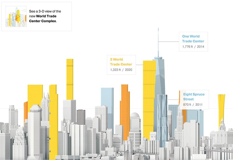
Manhattan is in the midst of an unprecedented boom in tall buildings. Before 2004, Manhattan was home to 28 skyscrapers 700 feet and taller. Since then, an additional 13 have been built, 15 are under construction, and 19 are proposed—47 more in all. These additions are rapidly—and radically—changing the skyline.
Check out the map only if you have a few minutes to get sucked in as it is very engaging.

Matt Coneybeare
Editor in Chief
Matt enjoys exploring the City's with his partner and son. He is an avid marathon runner, and spends most of his time eating, running, and working on cool stuff.
Something wrong with this post? Let us know!


