Photo:
Arnorrian
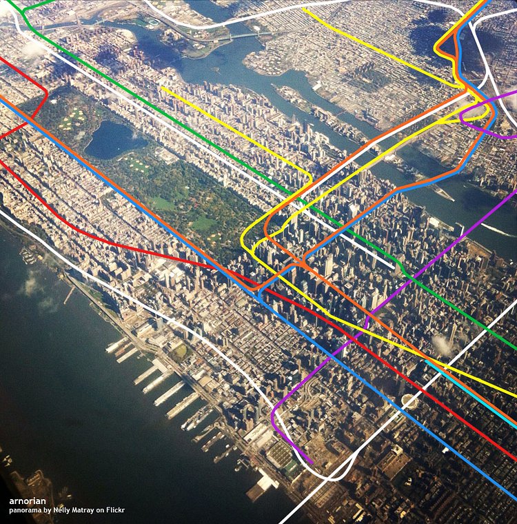
Photo:
Arnorrian
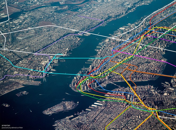
Map enthusiast Arnorrian recently created a sweet mashup of a couple of aerial photo over snapped over Manhattan, and the subway lines that run underneath them. It is tough to get an idea of how these tunnels lie beneath us when looking as the distorted and squished MTA Subway Map, so it's nice to see the subway lines presented in this way.
via 6sqft

Matt Coneybeare
Editor in Chief
Matt enjoys exploring the City's with his partner and son. He is an avid marathon runner, and spends most of his time eating, running, and working on cool stuff.
Something wrong with this post? Let us know!


