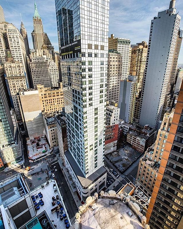
Viewing NYC on Instagram, October 4th, 2017 at 12:26 PM

New York, New York. Photo via @lightsensitivity #viewingnyc #newyorkcity #newyork
Photo: @viewingnyc

Follow our Instagram account @ViewingNYC to see photos of New York City from some of the best local, amateur, and professional photographers around! If you would like to see your photo featured, be sure to use hashtag #viewingnyc and we'll take a look!

If you want more than just photos, check out @ViewingNYC on Twitter, and Viewing NYC on Facebook to also get a stream of our best articles.


[MAPS] Interactive Data Visualization Shows Every Building Built in New York City Since 1880

The New York Construction Map is an incredibly thorough interactive data visualization which plots the construction of all New York City buildings on record over time since 1880. Using data from numerous sources (NYC OpenData, State of New Jersey, Esri, HERE, Garmin, INCREMENT P, USGS, EPA, NPS, US Census Bureau, USDA), the data visualization gurus at ESRI put together a map that includes a slider to shift the year. You can also just press "play" and see an animated version of New York City's construction history. Check out the full map to play around with the data!

Check Out This Stunning Panoramic Photo of the New York City Skyline from Top of the Rock

New York City skyline from Top of the Rock
Photo: -PhotogHelp-

If you can deal with the tourists and lines to get up, the Top of the Rock is one of the best places to capture a stunning Cityscape shot of Lower Manhattan. Photographer iryvni recently got this incredible shot during a colorful sunset on a cloudy day. The photo is a massive, wallpaper-worthy one, so be sure to grab the large version!