
Local YouTuber actionkid105 makes some great videos of himself walking or biking through New York City neighborhoods and attractions. In this recent upload to his channel, watch as he walks from Long Island City, Queens, to Central Park, over the Ed Koch Queensboro Bridge.
New York City's Official Waterfront Access Map Helps You Get Into the Water
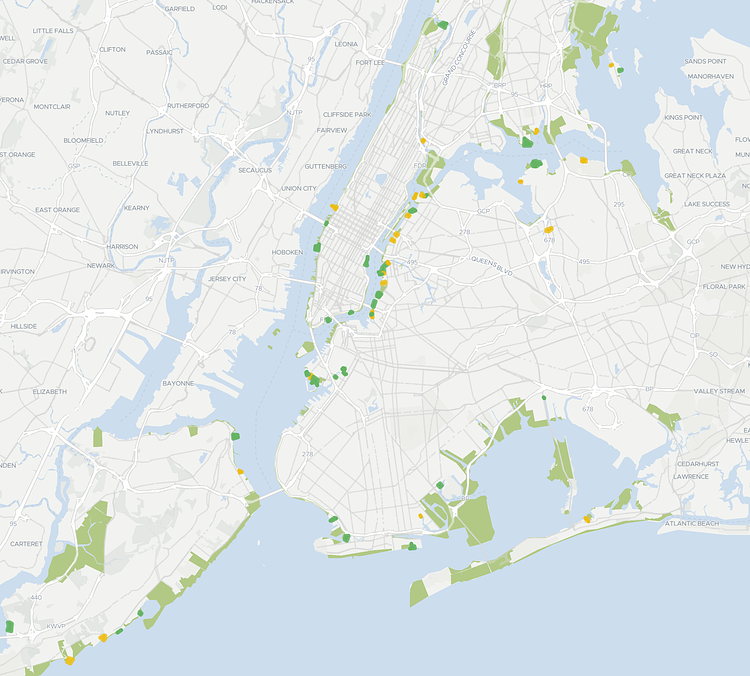
Photo:
NYC Planning
When living in New York City, sometimes it's easy to forget that four of our five boroughs are on islands, completely surrounded by water. As such, the New York City Department of City Planning recently released an interactive Waterfront Access Map that is "designed to help NYC residents and visitors locate and learn more about the diverse mix of publicly-accessible waterfront space available throughout the City. You can also learn where specific amenities are available, locate boating and in-water recreation opportunities, and get more information on how these spaces are created and maintained." If you really want to get in the water, check out the map!
Vintage Photograph From 1987 Shows Beastie Boys Hanging Out in East Village
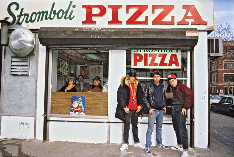
Photo:
r/OldSchoolCool
This great vintage photograph shows iconic New York City rappers The Beastie Boys hanging out in front of Stromboli Pizza in the East Village on St. Marks Place and 1st Avenue. The photo is the cover of a new book written by ADROCK and Mike D aptly titled The Beastie Boys Book and available on Amazon for $30. Though it is partially blocked by a mail truck, here is a Google StreetView what this same location looks like today: