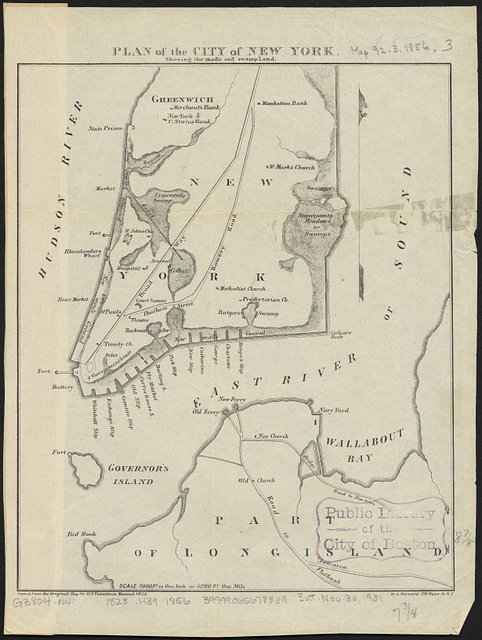
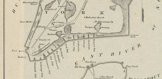
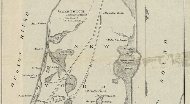
This interesting map from 1856 shows the slips and swamps of that used to exist on Manhattan and bits of Brooklyn, known as New York and Long Island respectively in 1856.
Back it the early days of New York, Manhattan was narrower, swampy and full of things called slips, narrow slivers of harbor left for boats as landfill extended the coastline. This map from D. T. Valentine’s Manual of the Corporation of the City of New York, currently on display at the Boston Public Library’s American Revolution exhibition We Are One: Mapping the Road from Revolution to Independence, maps the “made and swampland” of New York City and a bit of Brooklyn (then Long Island) in 1856.
Check out the full article on Untapped Cities for a little analysis and commentary on the map. The map is available for download in full resolution at the Boston Public Library.