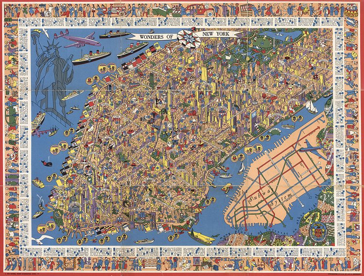


While this map is named "Wonders of New York", it is really an illustrated map of over 300 interesting attractions in Manhattan from the 1950s. The map was designed and illustrated by graphic artist and sailing enthusiast Nils Hansell.
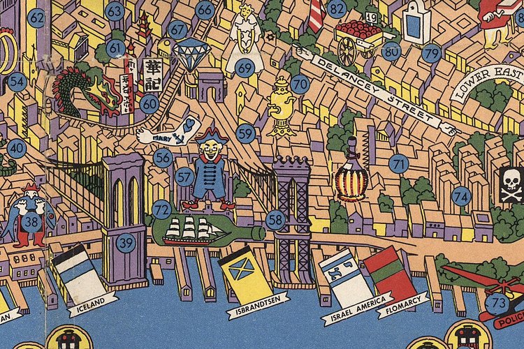
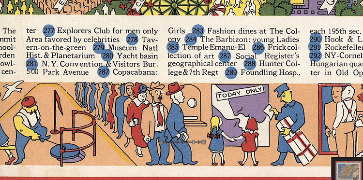
A pictorial map, surrounded by a decorative border and key to 301 locations. Shows Manhattan as far north as the Museum of the City of New York at 5th Avenue and 103d Street; owners of piers are identified by name and flag. Includes inset: The Subway system. Hansen was a graphic artist and sailing enthusiast who worked for some years at IBM.
via 6sqft, Transit Maps

Matt Coneybeare
Editor in Chief
Matt enjoys exploring the City's with his partner and son. He is an avid marathon runner, and spends most of his time eating, running, and working on cool stuff.
Something wrong with this post? Let us know!


