Photo:
r/nyc
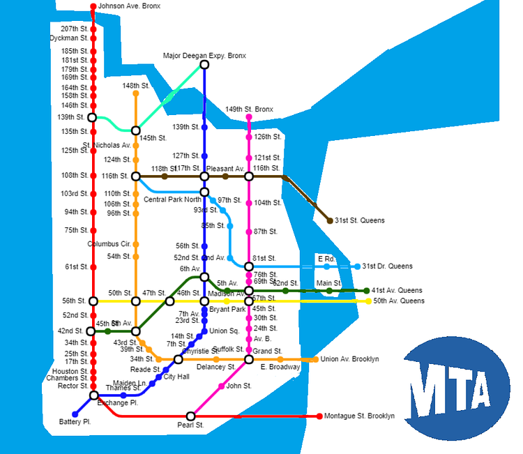
Just yesterday, we shared a interesting Staten Island "Subway" Map that imagined what the borough's underground transportation would look like if every Subway restaurant was an MTA subway station. Now here is a re-imagined Manhattan subway map from Redditor 1map_dude1 using the same idea. Notice how there are several neighborhoods which have a "stop" on nearly every block!
via reddit

Matt Coneybeare
Editor in Chief
Matt enjoys exploring the City's with his partner and son. He is an avid marathon runner, and spends most of his time eating, running, and working on cool stuff.
Something wrong with this post? Let us know!


